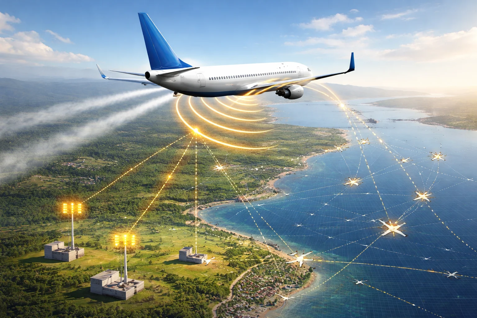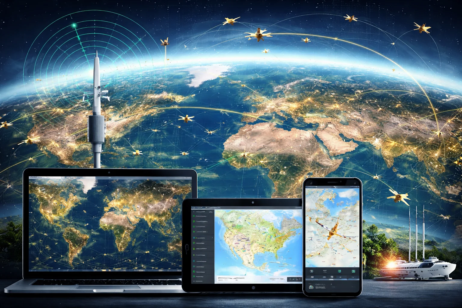
Modern air travel depends on far more than aircraft, airports, and published schedules. Behind every journey is a continuous flow of aviation data connecting aircraft systems, ground receivers, satellites, airlines, airports, and air traffic services. Flight tracking turns parts of that complex information network into a clearer view of how an aircraft is moving through the aviation system.
For passengers, tracking a flight may appear simple: enter a flight number and view an aircraft on a map. The technology behind that screen is considerably more involved. Position broadcasts, flight plans, airport information, operational updates, weather conditions, and estimated arrival calculations may all contribute to the displayed result.
OpenSkyNews Flight Tracking coverage examines these systems in context. It looks beyond the moving aircraft icon to explain where aviation data originates, how it is processed, why information can differ between sources, and what travelers should understand before relying on a tracking update.
The Data Network Behind a Tracked Flight
A modern flight produces and interacts with several types of information from departure to arrival. Some data describes the aircraft’s physical position, while other records describe its intended route, operating identity, schedule, or airport status.
A tracking platform may combine information such as:
- Airline and flight number
- Aircraft identification
- Departure and arrival airports
- Scheduled, estimated, and actual times
- Geographic position
- Altitude and ground speed
- Direction of travel
- Filed or observed route
- Gate and terminal information
- Delay or cancellation status
These fields do not necessarily come from one source or update at the same time. An aircraft’s position may refresh frequently while its assigned gate remains unchanged until an airport or airline system publishes a new update. This is why a tracking map, airline application, and airport display can occasionally show slightly different details without any one source being entirely incorrect.
Understanding flight tracking begins with recognizing that it is a layered data environment rather than a single live feed.
How Aircraft Become Visible on Digital Maps
Position information generated onboard
An aircraft determines its location using onboard navigation systems. Depending on the equipment and operating environment, that position can be shared through surveillance technologies designed to help aviation systems maintain awareness of aircraft movement.
One of the most important technologies is Automatic Dependent Surveillance–Broadcast, commonly known as ADS-B. It allows appropriately equipped aircraft to broadcast information that may include position, altitude, speed, direction, and identification.
Readers who want a closer look at this technology can explore the OpenSkyNews guide to how ADS-B enables flight tracking.
Signals received on the ground
Ground-based receivers collect aircraft broadcasts when the aircraft is within suitable range. A dense network of receivers can provide detailed coverage across busy regions, particularly around cities, airports, and established air corridors.
Coverage is not uniform everywhere. Mountains, receiver placement, signal range, aircraft altitude, and local infrastructure can all affect how consistently an aircraft appears. A temporary gap on a public map does not automatically mean that the aircraft itself is missing from professional aviation systems.
Satellite-supported coverage
Ground stations have practical geographic limits. Oceans, deserts, polar routes, and remote regions may not have the same receiver density found near major population centers.
Satellite-supported systems help extend aviation visibility into these areas. They can receive or relay certain aircraft information without depending entirely on nearby terrestrial infrastructure. This creates a broader surveillance picture for long-distance operations, although availability and update frequency can still vary between services.
OpenSkyNews provides further context in its explanation of satellites in flight tracking and air traffic management.
A Flight Position Is Not the Same as Flight Status
One of the most useful distinctions in modern travel is the difference between an aircraft’s observed position and the operational status of a particular flight.
Position data describes where an aircraft appears to be and how it is moving. Flight-status data describes the commercial journey associated with a flight number, including scheduled departure, expected arrival, terminal assignment, delay, diversion, or cancellation information.
The two can be connected, but they are not interchangeable.
For example, an aircraft may be visible approaching an airport while the airline has not yet confirmed its arrival gate. A flight can also be listed as delayed before its assigned aircraft begins moving. In other cases, a traveler may see an aircraft with the expected flight number but later receive a schedule change because the airline has reassigned equipment.
This distinction matters because travelers often treat every field on a tracking screen as equally current. In practice, the source and update cycle behind each field may be different.
How Flight Tracking Supports the Passenger Journey
Before leaving for the airport
Tracking information can help passengers build a more realistic picture of their departure. The published schedule remains important, but the movement of the incoming aircraft may provide additional context.
If the aircraft expected to operate a flight has not yet reached the departure airport, a delay may become more understandable. However, travelers should avoid treating an observed inbound delay as a guaranteed prediction. Airlines can change aircraft, adjust schedules, or make operational decisions that are not visible on a public map.
The safest approach is to use flight tracking for awareness while continuing to follow official airline instructions.
During airport connections
Flight data is particularly useful when a journey includes a connection. Estimated arrival information can help a traveler assess how much time may remain for changing terminals or reaching another gate.
Even here, a map cannot show the complete passenger experience. Taxiing time, gate availability, immigration, security procedures, airport layout, and baggage handling can all affect the actual connection.
A projected landing time therefore should not be confused with the moment passengers will enter the terminal.
When meeting an arriving passenger
For someone collecting a traveler, tracking can reduce unnecessary waiting. Watching the progress of the flight provides more context than relying only on the scheduled arrival time.
The most useful sequence is to check whether the flight has departed, follow its estimated arrival, confirm that it has landed, and then allow time for taxiing, baggage collection, and terminal exit. At international airports, border procedures can add further time that an aircraft tracker cannot estimate precisely.
During disruptions
Tracking information can make delays and diversions easier to understand. A holding pattern, route change, or arrival at an alternate airport may become visible before every operational detail is published.
Still, the visible movement alone may not reveal the reason. Weather, airport congestion, airspace restrictions, medical events, maintenance considerations, or air traffic instructions can lead to similar-looking changes. Responsible interpretation means separating what the data shows from what has not yet been confirmed.
Why Estimated Arrival Times Keep Changing
An estimated time of arrival is a calculation, not a promise. It can change as the flight progresses and newer information becomes available.
The estimate may be influenced by:
- Actual departure time
- Aircraft speed
- Wind direction and strength
- Route changes
- Air traffic sequencing
- Holding instructions
- Airport congestion
- Runway availability
- Weather near the destination
A flight may recover part of an early delay through favorable winds or efficient routing. It may also lose time near the destination because it has been instructed to slow down, enter a holding pattern, or wait for an available approach.
Different platforms may use different models and data sources, so their estimates may not match exactly. The most recent estimate is generally more informed than an earlier one, but changing operational conditions can still produce further revisions.
Reading a Flight Map More Accurately
Public flight maps contain useful information, but individual fields should be interpreted carefully.
Callsign and flight number
A commercial flight number is the identifier passengers usually see on a booking. A callsign is used for operational communication and may appear differently. Codeshare arrangements can also result in one physical flight being sold under several airline flight numbers.
Altitude
Altitude helps indicate whether an aircraft is climbing, cruising, descending, or operating near an airport. Displayed values may be rounded or processed before they reach a public interface.
Ground speed
Ground speed describes movement relative to the Earth’s surface. It is influenced by wind and should not be treated as the aircraft’s speed through the surrounding air.
Route line
The line displayed on a map may represent a filed route, a calculated path, or a reconstruction based on received positions. It does not always mean the aircraft will follow that exact line for the entire journey.
Last update
The timestamp or freshness indicator is essential. If information has not refreshed recently, the aircraft icon may show the last received position rather than its current location.
Flight Tracking and Air Traffic Control Serve Different Purposes
A public tracking service is not the same as an air traffic control system. Air traffic controllers use authorized surveillance, communication, flight-plan, and operational tools designed for managing aircraft safely within controlled airspace.
Public platforms may present selected or processed aviation data for travelers, analysts, researchers, and enthusiasts. They can improve general awareness, but they are not intended to replace operational instructions or official safety systems.
This difference becomes especially important during emergencies or rapidly changing situations. A delayed public update should never be used to challenge instructions from an airline, airport, flight crew, or aviation authority.
The Limits of Public Aviation Data
Flight tracking is highly capable, but no public system should be expected to show every aircraft with perfect continuity.
Information may be limited by:
- Sparse receiver coverage
- Terrain or signal obstruction
- Aircraft equipment differences
- Data-sharing restrictions
- Processing delays
- Privacy filtering
- Incomplete schedule information
- Changes in aircraft assignment
- Gaps over remote regions
- Differences between estimated and confirmed events
Military, government, private, or specially protected operations may also appear differently or may not be displayed at all. Absence from a public map is not evidence that an aircraft is unmonitored by the relevant aviation authorities.
Aviation Data Beyond the Passenger Screen
Flight tracking also has value beyond individual travel plans. Aggregated aviation data can help reveal how the wider air transport system behaves.
Researchers may study traffic density, route structure, airport demand, or the effect of major disruptions. Airports and operators can use appropriate data systems to support planning and situational awareness. Journalists can examine observable flight movements when reporting on aviation, provided they distinguish recorded data from assumptions.
Historical flight information can also help identify broader patterns, but responsible analysis requires context. A route deviation on one flight may have little significance, while a repeated pattern across many flights may reflect weather, infrastructure constraints, or an operational change.
The value comes not merely from collecting data, but from interpreting it without making unsupported conclusions.
Privacy and Responsible Use
Aircraft broadcasts and public tracking tools have created valuable opportunities for transparency, research, and travel awareness. They also raise reasonable questions about privacy and responsible publication.
A visible aircraft position does not automatically explain who is onboard, why the flight is operating, or what decisions are being made. Those conclusions require separate, reliable evidence.
Responsible use of flight data means:
- Avoiding speculation about passengers
- Checking timestamps before sharing a position
- Distinguishing observation from interpretation
- Recognizing possible gaps or filters
- Waiting for verified information during sensitive events
- Respecting legal and ethical boundaries
These habits are especially important when aviation data is used in news reporting or widely shared online.
How Modern Tracking Is Changing Travel Awareness
Flight tracking has brought a level of visibility that earlier generations of passengers did not have. Travelers can follow an incoming aircraft, monitor a long-distance journey, understand a diversion, or coordinate an airport pickup using information that was once available mainly within professional systems.
Its greatest value is not simply showing a moving aircraft. It helps people understand that air travel is a connected process shaped by aircraft movement, airport capacity, airspace conditions, weather, schedules, and operational decisions.
OpenSkyNews Flight Tracking coverage contributes to that understanding by placing aviation data within the wider travel system. A tracking screen becomes more useful when readers know what its fields represent, where the information may come from, and where its limits begin.
Final Thoughts
Modern flight tracking translates complex aviation activity into information that passengers and the public can understand. ADS-B broadcasts, ground receivers, satellite support, flight plans, airline systems, and airport updates may all contribute to the picture, but they do not always update together or serve the same purpose.
Used thoughtfully, tracking data can make travel planning more informed and disruptions less confusing. It should complement official airline and airport information rather than replace it. The strongest understanding comes from reading the data carefully, checking its freshness, and avoiding conclusions that the available information cannot support.

Related Posts